Mexico City has been sinking for over a century. A new NASA satellite is now watching it happen in real time
More than 20 million people are living on ground sinking above a reservoir.
More than 20 million people in Mexico City are living on ground that's sinking above an ancient reservoir.
The city has long been recognized as one of the fastest sinking sites in the world, but researchers didn't have the ability to continuously track the movement from space until now.
NASA shared a satellite image on Wednesday from the U.S.-India satellite NISAR that captures parts of Mexico's capital sinking by more than half an inch every single month. The space agency said the impact of those incremental changes have added up over time, leading to "fracturing roads, buildings, and water lines" across the city.

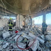
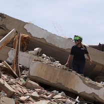
Dora Carreón-Freyre, a researcher who has studied Mexico City's sinking for more than 25 years, has seen that damage up close in the Iztapalapa region, which she says is one of the hardest hit.
"The houses that are founded in [volcanic] rock are stable, but the houses in the middle between the rock and the lacustrine plain are already broken, most of them," Carreón-Freyre told ABC News. "In 2017, a taxi fell inside a fracture."
Over the years, scientists studying the city’s land subsidence, a scientific term for sinking, primarily relied on ground and space satellites that could only collect annual data.
NASA says NISAR is the first satellite to carry two radar systems at different wavelengths, allowing it to record near real-time ground movement changes from space every 12 days. For David Bekaert, a scientist who works on the NISAR mission, that frequency is what makes the data so valuable.
"This all allows us to build time series or snapshots on how the ground is moving over time," Bekaert told ABC News.
For researchers who have spent decades studying the city on foot, the new satellite data offers something they never had before.

"To have these tools and to realize the distribution of these differential rates –it's amazing," Carreón-Freyre said. "Things that we only learned by walking everywhere when we were young, it's different now. Technology is here to help us."
The image is a compilation of data collected by NISAR between October 2025 and January 2026.
A century of sinking
Th fact that Mexico City is sinking is not new. NASA says it has been documented the changes for more than a century.


According to a 1995 report by the National Academies of Sciences, Engineering, and Medicine, the city was already sinking roughly two inches per year by the late 1800s.
By the 1950s, that number jumped to 18 inches, the report found.
The first finding was reported by engineer Roberto Gayol in 1925, who pointed to a large canal and tunnel built to drain water out of the city's waterlogged ground as the potential cause.
Scientists now point to a more direct culprit — decades of draining the ancient lakebed aquifer that the city was built on.
As water is pumped out, the ground above it compacts and stays that way, according to a study published by the American Geophysical Union. Think of wet clay that gets squeezed flat and hardens in place.
Still, not every part of the city sinks at the same rate, Bekaert said.
"That compaction causes the ground surface to sink, and because it doesn't happen evenly, different parts of the city move at different rates," Bekaert explained.
Parts of the city have lost as much as 30 feet of elevation over the last century, according to researchers, and scientists say the worst-hit areas have sunk as much as 127 feet.
NASA and the Indian Space Research Organisation launched NISAR on July 30, 2025, from the Satish Dhawan Space Centre.
Mexico City is just the beginning when it comes to this technology, scientists say.
"More broadly, my interest lies in mapping ground motion across coastal zones, where a large proportion of the world's population lives and understanding surface change is particularly important," Bekaert said.
Scientists say NISAR can now continuously monitor sinking cities anywhere on Earth — a capability Carreón-Freyre says is urgently needed as that threat is already playing out elsewhere in the world.
"And what I saw in the Philippines is really terrible because they have two phenomena working together that is very bad for the population: subsidence and sea level rise," she said. "They are sinkings 30 centimeters per year."

Popular Reads
ABC News Live