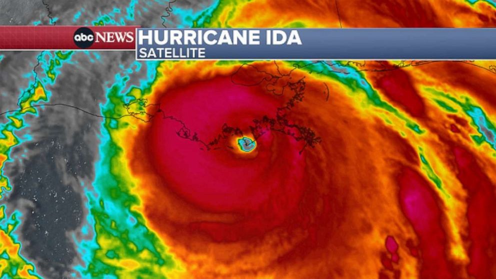
Storm weakens but dangerous hurricane conditions continue
Ida remained a strong Category 4 hurricane at 3 p.m., with maximum sustained winds of 145 mph.
The center of the storm is currently 25 miles west-northwest of Grand Isle, Louisiana, after making a second landfall along the southeastern Louisiana coast, just southwest of Galliano.
The eye of the storm is continuing to come ashore, bringing powerful, damaging winds and torrential rain.
Extreme wind warnings have now been issued over an extended area, southwest of New Orleans.
A recent wind gust of 76 mph was reported at New Orleans Lakefront Airport, while wind gusts of 125 mph were reported at Golden Meadow, Louisiana. Winds are also gusting more than 115 mph in places like Houma, Thibodaux, Laplace and Gramercy.

Storm surge up of 7.2 feet is coming into Shell Beach, Louisiana, while 6.3 feet of surge was reported in Waveland, Mississippi.
Tornado watches are in effect in coastal parts of Louisiana, Mississippi, Alabama and Florida.
The heavy rain and flash flooding threats will eventually reach the Tennessee Valley Monday into Tuesday and will likely affect Waverly, Tennessee, which was recently devastated by deadly flooding.
-ABC News’ Melissa Griffin and Dan Peck